RadarAwareTM
Drone agnostic technology enabling BVLOS operations
Drones have become indispensable assets for both military and commercial operations. It is imperative therefore that they have an effective, robust, and reliable collision avoidance strategy for hazardous situations such as rooftop antenna, cranes, overhead powerlines, natural obstacles, as well as other flying aircraft.
Whilst existing flight broadcasting technologies (ADS-B and FLARM, for example) support UAV conspicuity, they require airborne vehicles to be equipped with the same technology for detection purposes. These systems, however, are unable to detect non-cooperative targets, and don’t have the capacity to operate independently of Global Navigation Satellite System (GNSS). More importantly, to secure Beyond Visual Line of Sight (BVLOS) certification, said systems need to be scalable to keep pace with the rapidly expanding UAV market. As a result, there is heightened demand for radar-based solutions such as RadarAwareTM.
RadarAwareTM, an ultralight radar system that ensures safe operations in highly variable conditions (adverse weather, poor/bright lighting, fog mist, dust etc) by facilitating air-to-air and air-to-ground surveillance. As a result, drone operators and UAVs can reliable detect and identify obstacles in their flight path, including tracking multiple moving objects, thereby supporting BVLOS flights.
Key benefits
- Low – designed for the low Size, Weight and Power requirements of commercial UAVs
- High-resolution – for long-range detection
- Maximum detection capabilities – up to 3km
- Light aircraft: 1,000 – 2,500m
- Mid-size UAV: 300 – 1,000m
- Large field of view – fully electronic beam-steer antenna arrays covering the direction of
- All weather – delivering high fidelity data in adverse, low light and poor visibility conditions, .
- Drone agnostic – interfaces with external flight controllers via Sensoriis Radar Protocol (SRP) and Application Programming Interface (API)
Precise relative velocity measurements
As well as being able to accurately detect the relative position of all potential hazards, RadarAwareTM also directly measures relative velocity. This advanced feature avoids unnecessary course adjustments by distinguishing between objects approaching and those flying away from the UAV.

Details of detected objects are immediately sent to onboard flight controllers to enable autonomous avoidance control. If a collision risk is detected, the UAV dynamically sends the relative positions of all obstacles via a secure datalink to the ground control station, supporting tactical deconfliction, and decision making.
RadarAwareTM‘s ultralight, low-power design makes it highly compelling for a range of use cases. See below how it can be deployed as part of a tactical DAA system.
- Critical asset surveillance – augmented situational awareness, enhanced health & safety and streamlined operations
- Commercial Freight – superior surveillance capabilities for fast delivery of perishable goods/medical supplies to remote areas
- Military logistics – high fidelity data for precision monitoring, intelligence gathering and resupplying frontline positions
Other RadarAwareTM use cases

RadarAwareTM has the potential to play a vital role in counter-UAS operations as part of a drone intercept solution, detecting potential hostile targets in volatile frontline situations where parameters are continually changing.
Key advantages
- Operable in most weather conditions
- Long distance detection capabilities
- Wide field of view functionality
Radars have been extensively used in missiles seekers for these reasons but have been prohibitively expensive for use in disposable ‘interceptor’ deployments.
We can offer a low-cost radar seeker for deployment on a UAV.
Please contact us to learn more and discuss a potential collaboration.
Ground to air surveillance
RadarAwareTM can equally be installed on the ground, directed towards the sky, for detection, tracking and reporting of UAVs. In the case of vertiports it enhances localised airspace management and supports landing pad automation.
Safe landing zones
The landing and take-off phases for helicopters and drones are both challenging and risky, as determining a safe landing zone has historically relied on visual processes (human, camera sensors, LiDAR). These require clear visibility, calm weather, and line of sight.
Radar is far more versatile. Moreover, it is a proven technology that is widely used by the automotive industry for long-range all-weather sensing. The challenge to date has been designing them in a low SWaP form and at an acceptable price point for UAV deployment.
Sensoriis are experts at low SWaP radar. Contact us today to find out more.
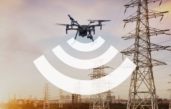
Power Line Inspections

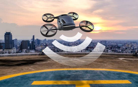
Airspace management within a vertiport

Advanced situational awareness of the immediate airspace of a vertiport, enables a safe, efficient, scalable, and resilient infrastructure, to enable the transport of goods and people from ground to air and vice versa.